Tejano History
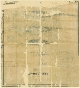
1846 Map of Nacogdoches
Map/Doc #: 82243
Digital TIF Size: 764.72 MB
Digital PDF Size: 319.98 MB
Subject: Colony District Maps, County Maps.
Title 1: Map of Nacogdoches County
Creation Date: xx/xx/1846
Draftsman: H. L. Upshur
Surveyor: A. A. Nelson
Size: (in inches) 76.1 x 83.7
Format: digital composite
Named Features: Lee's Fort, Hagen's Ferry
Boundary lines: Cherokee Boundary Line as run by Ferris 1841, Fannin District, Mercer's Colony
Roads: Kingsborough, Kickapoo Trace, Pecan Trace, Jonesboro, San Antonio, Nacogdoches
Towns: Kingsborough, Quitman, Clifton, Gilmer, Bazett, Rusk, Douglas, Melrose, Henderson, Buffalo, Athens, Nacogdoches
Collection: Colony and District
Comments: Adopted in 2006 in Memory of Charles Wallace Pratt by loved ones and conserved in 2007.
Digital composition of counter numbers 87355, 87356, 87357 and 87358.
Prints made at 65%.
Maps courtesy of Texas General Land Office


